'Parkland' and housing – some more context on yesterdays #brumpark Birmingham Parks Summit
Yesterday Cllr Lisa Trickett published a blog post which talked about how 8 acres of ‘parkland’ might be released for housing each year in Birmingham to help fund the parks service. She said:
I have to be totally clear this proposal is NOT about fencing off 8 acres of well-used, high-quality parkland and sending in the bulldozers.
Lisa asked “when is a park not a park” and explained in more detail….
The land we will release will be identified through a rigorous evaluation process using two national pilot planning tools developed in Birmingham; one that has re-mapped the city; the other works at a site scale; both set out to achieve the best balance for people, well-being and nature.
One type of ‘parkland’ to be looked at would be redundant pockets of land that are technically under the stewardship of our parks service, but are in reality some redundant pockets of open space that haven’t been used in years, if at all.
They will, for example, be patches of overgrown land next to a housing estate that have never been used, have next to no value and are in spots that are prefect for addressing the city’s chronic housing shortage. They will, in some cases, be pieces of land where the blight and disruption they cause could be eradicated if they are used in some other way.
The second ‘parkland’ areas will be large open areas of ill-defined land, where additional housing would help integrate the space into the neighbourhood and where the receipts from the housing would be re-invested to create a much improved local park; these will be designed using the above tools.
I was intrigued by what was meant by these two new planning tools (and was not alone – other asked me the same question and some have also blogged about this announcement)
So I asked Nick Grayson (who was one of the organisers of yesterday’s Parks Summit) to explain a bit more. (Nick is the Climate Change and Sustainability Manager for Birmingham City Council for part of his working week and the rest of the time as Senior Research Fellow, Natural Capital, GEES, (School of Geography, Earth and Environmental Science), at The University of Birmingham. See also http://liveablecities.org.uk/ )
He sent me a detailed e-mail and is happy for me to share that here. So here goes…
You enquired about the planning tools;
There are two pieces of work generated in Birmingham that are a national and actually a global first:-
Below is a link to the City policy the Green Living Spaces Plan; which is based on a new scientific approach, which is detailed in the two appendices, also viewable. What this process has given us , is a new way of evaluating the importance of the city’s natural environment; through this new science of ecosystem services. The resultant multiple challenge map, shows how the current natural environment is able to ‘supply’ these services to the city’s population, i.e. meet their ‘demand’. There are very few areas of the city where we are in-balance with the natural environment; essentially a microcosm of our human global position. We are the first city to apply this methodology and its attracted a wide range of interest- globally.
http://www.birmingham.gov.uk/greenlivingspaces
The second planning instrument is that we have devised a ‘tool’ that applies this same methodology not at the city scale- but at the site scale; so for all potential developments. So that- in theory- we would be able to pre-plan all future developments to be in-balance- from the start. Better than that what the tool aims to achieve is over a 25 year timescale the development would be in a net positive condition- so improving over time- helping to restore our overall deficit. We are currently trialling this as a potential new national planning standard; sponsored by the Natural Environment Research Council and co-sponsored by the Royal Town Planning Institute and the Royal institute of Chartered Surveyors. Our initial draft trial of this tool is captured in this report, published by the RICS Research Trust, in 2015. This has generated huge interest across the UK and attracted enquiries from overseas.
http://www.rics.org/uk/knowledge/research/research-reports/natural-capital-tool-planning-/
http://gotw.nerc.ac.uk/list_them.asp?them=Innovation+-+GI; (confirmation of national trial)
Why this is relevant; is that BCC have a budgetary savings proposal to release 8 acres of parkland a year – for housing. The idea being that the receipts generated would be paid back into the Parks Account to help backfill the savings target. The Council position is that this would be done over a 3 year trial period. What has been agreed is that the sites will be ‘selected’ via the first set of maps- to agree they are in the least damaging location. Secondly any new housing on parkland would then be master planned through the Planning Tool; to try to achieve this net positive pay-back- over the 25 year term. So land as seen as ‘lost’ to development; will actually be designed in such a way to pay back positively over a generation and beyond.
However the use of the word parkland is a little misleading. Over the post war era; any ‘unwanted’ council owned land has been passed to parks to look after. So on their land registry they ‘own’ all sorts of land parcels; most of which the average citizen would never classify as a park. These will be the priority sites in the first instance. Then there will be other larger land areas, where some well-designed additional housing- and post development investment into the neighbourhood – would create a better park and better neighbourhood.
What yesterday’s event was about was starting a new process whereby we now start to engage all departments in the council and all our external partners in developing a different long term model of how to plan, govern and fund, parks into the future. This will involve a wholesale reappraisal of the value , not price, of parks in the city; and therefore escape this current model that shows a budgetary deficit against the service responsible for their upkeep. This old style accounting model has to change. Everyone is agreed on that. The problem is, nobody has done it yet. Anywhere in the world! So what we are attempting is ground-breaking in every sense. The true ‘value’ of the city’s green natural network is probably measurable in the billions- but currently it appears on oar’s and every Council’s balance sheet as a cost or liability. This is pretty much the same logic that currently allows virgin rainforest to be ripped out and re-panted with Palm Oil- so that it is seen as then having an economic value!
So what is happening is a huge amount of work is being done on a global scale- to correct these anomalies- that can be then applied to cities- so that its now recognized that human survival let alone its prosperity- is going to be dependent on achieving these shifts in understanding and practice. This is where the University research can and does feed directly back into the city. So allowing Birmingham to become a global leader in this regard.
Many thanks
Nick Grayson,
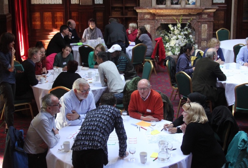
#brumparks This post was written by Nick Booth of Podnosh as part of our social reporting for yesterday’s Birmingham Parks’ Summit. The aim is to share information – so nothing that is said in this piece is necessarily, the opinions of BOSF or it’s members.
Save
Save
Posted on 3rd November 2016
Connect with us
@BOSFonline