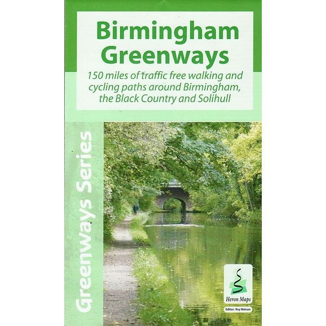
Birmingham Greenways Map

A new Birmingham Greenways map has been produced which features 150 miles of traffic-free walking and cycling paths along canals, rivers, and through the 8,000 acres of parks on the Birmingham plateau.
Fully coloured at 1:30,000 scale and supplemented by information panels and photographs, it is designed to appeal to a wide range of users who wish to explore the area and its fascinating industrial legacy in a traffic-free way.
Copies priced at £5.99 can be obtained by clicking here.
Posted on 6th May 2015

Connect with us
@BOSFonline